Footpath Map No 13 - Beaconsfield And District
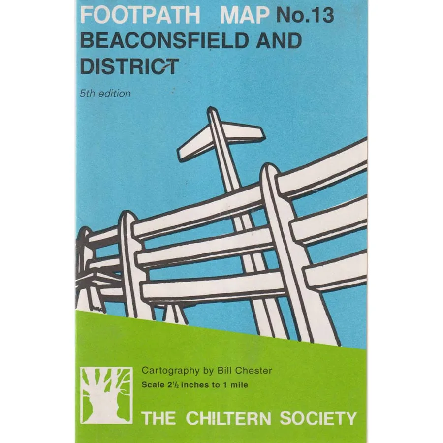
Publisher: The Chiltern Society
Format: Paperback
ISBN: 9780747803614
Walking is one of humanity’s oldest and most reliable methods of transport, requiring no fuel, very little maintenance and, under favourable circumstances, absolutely no assistance from a government department. Unfortunately, the moment someone attempts to walk across the English countryside, they generally discover that the landscape is divided into an elaborate network of footpaths, bridleways, private estates, suspicious gates and signs apparently designed to discourage anyone from finding out where they are.
Footpath Map No. 13 – Beaconsfield and District (1997), by Bill Chester and published by The Chiltern Society, is a practical and thoroughly appealing guide to exploring one of Buckinghamshire’s most attractive areas on foot. It belongs to that splendid tradition of British countryside publications which assume that the reader possesses a reasonable pair of shoes, a healthy curiosity and sufficient determination to discover what lies beyond the next stile.
Beaconsfield and its surrounding countryside offer an inviting landscape of historic settlements, quiet lanes, fields, woodland and the distinctive scenery associated with the Chilterns. Here, walking is not merely a means of travelling from one place to another, but an opportunity to appreciate the extraordinary variety of the English countryside, preferably without accidentally wandering into somebody’s garden.
The Chiltern Society has long championed the protection and enjoyment of the region’s landscape, footpaths and historic environment. Publications such as this represent the valuable work involved in recording routes and helping the public navigate a countryside that is theoretically accessible but occasionally seems determined to conceal its entrances.
There is something wonderfully British about the entire enterprise. Other nations construct enormous highways, spectacular bridges and ambitious transportation systems. Britain, meanwhile, preserves an ancient right of way across a field, marks it with a small wooden sign and expects walkers to negotiate three gates, a muddy ditch and an inquisitive herd of cattle before reaching the next village.
Published in 1997, this map also possesses a certain historical interest. The countryside has inevitably changed over the intervening decades, making older walking maps useful records of how routes, settlements and local landscapes were represented at the time. Modern walkers should naturally check current rights of way and access arrangements before setting off, particularly if they would prefer their afternoon excursion not to conclude with an argument over a locked gate.
Condition: Good. This 1997 Chiltern Society publication is a previously owned copy showing ordinary signs of age, reading and handling, but remains an appealing item for walkers, local historians and collectors of regional maps.
Offered by Crappy Old Books, where we strongly approve of walking, especially when it costs nothing and concludes somewhere serving tea and cake. We also appreciate the noble efforts of those who maintain footpaths, since without them the countryside would eventually become an enormous collection of private driveways.
A charming regional publication for admirers of Buckinghamshire, the Chilterns and the increasingly radical idea that one should occasionally leave the house and go somewhere without taking the car.
Keep browsing: See more Maps books Other books by Bill Chester